Portfolio

Surveying and geospatial work delivered for real projects. أعمال ومخرجات مساحية وجيومكانية جاهزة للمشروعات.

A focused view of EMD services, deliverables, and project-ready outputs, presented in English and Arabic for clients, consultants, contractors, and infrastructure developers.

عرض واضح لخدمات EMD ومخرجاتها الفنية باللغتين العربية والإنجليزية لملاك الأراضي والاستشاريين والمقاولين والمطورين ومشروعات البنية التحتية.

EMD surveying and GIS network visualization
Company profile

About EMD

EMD is a specialized Egyptian surveying and GIS company providing practical, accurate, and dependable surveying services for landowners, contractors, developers, consultants, businesses, and public-sector projects.

The company focuses on field surveying, topographic mapping, boundary verification, construction setting-out, as-built surveys, UAV photogrammetry, GIS data preparation, utility mapping, CAD drawings, area calculations, and engineering survey reports.

With a practical understanding of project requirements in Egypt, EMD combines field experience, modern surveying equipment, and clear technical deliverables to support clients from initial site assessment through design, execution, documentation, and final project delivery.

من نحن

EMD هي شركة مصرية متخصصة في أعمال المساحة ونظم المعلومات الجغرافية، تقدم خدمات مساحية عملية ودقيقة وموثوقة لملاك الأراضي والمقاولين والمطورين والاستشاريين والشركات ومشروعات القطاع العام.

تركز الشركة على أعمال الرفع المساحي، والرفع الطبوغرافي، وتحديد الحدود، وتوقيع المنشآت، ورفع ما تم تنفيذه على الطبيعة، والتصوير المساحي بالطائرات بدون طيار، وإعداد بيانات GIS، ورفع المرافق، ورسومات CAD، وحسابات المساحات، والتقارير المساحية الهندسية.

تجمع الشركة بين الخبرة الميدانية وأدوات المساحة الحديثة والمخرجات الفنية الواضحة، بما يساعد العملاء في مراحل المعاينة الأولية، والتصميم، والتنفيذ، والتوثيق، وتسليم المشروع.

GNSS Total Station UAV GIS CAD
Topographic survey visual with total station and contour data

Topographic & Engineering Surveys

Topographic surveying is one of the essential stages of engineering and land development projects. Accurate field measurements provide the information required for planning, design, construction, infrastructure development, and engineering decision-making.

EMD provides topographic and engineering surveying services for residential, commercial, industrial, agricultural, and public-sector projects throughout Egypt. Every survey is performed using modern GNSS receivers, Total Stations, Digital Levels, and UAV photogrammetry whenever appropriate for the project requirements.

Our engineering teams collect precise spatial measurements that accurately represent existing ground conditions, natural terrain, roads, buildings, utilities, boundary features, drainage networks, and other site characteristics. The collected data is processed into practical engineering deliverables suitable for architects, consultants, contractors, developers, government authorities, and private landowners.

Our topographic surveys support various engineering activities, including site planning, land development, infrastructure projects, road design, utility coordination, grading plans, construction planning, environmental studies, and engineering feasibility assessments.

Each project is executed according to its technical requirements, ensuring reliable measurements, organized field procedures, and clear engineering documentation suitable for design offices and construction teams.

  • Topographic Survey Maps
  • CAD Drawings
  • Digital Terrain Models (DTM)
  • Contour Maps
  • Spot Levels
  • Coordinate Lists
  • Cross Sections
  • Longitudinal Profiles
  • Engineering Survey Reports

الرفع المساحي والطبوغرافي الهندسي

يمثل الرفع المساحي والطبوغرافي إحدى المراحل الأساسية في تنفيذ المشروعات الهندسية وأعمال تطوير الأراضي، حيث تعتمد عليه مراحل التصميم والتخطيط والتنفيذ في الحصول على بيانات مكانية دقيقة تساعد على اتخاذ القرارات الفنية بصورة صحيحة.

تقدم EMD خدمات الرفع المساحي والطبوغرافي للمشروعات السكنية والتجارية والصناعية والزراعية ومشروعات البنية التحتية، باستخدام أجهزة GNSS والمحطات المتكاملة (Total Station) وأجهزة الميزان الرقمية وتقنيات التصوير الجوي بالطائرات بدون طيار عند الحاجة، بما يتناسب مع طبيعة كل مشروع.

يقوم فريق العمل برصد المناسيب، والتضاريس، والمنشآت القائمة، والطرق، وشبكات المرافق، والعناصر الطبيعية والصناعية، ثم معالجة البيانات وتحويلها إلى مخرجات هندسية دقيقة تساعد المكاتب الاستشارية، والمقاولين، والمطورين، والجهات الحكومية، وملاك الأراضي في مراحل التصميم والتنفيذ.

وتستخدم أعمال الرفع الطبوغرافي في إعداد المخططات الهندسية، وتصميم الطرق والمرافق، وتطوير الأراضي، وأعمال التقسيم، والدراسات البيئية، ومشروعات البنية الأساسية، وأعمال التخطيط العمراني، وغيرها من التطبيقات الهندسية.

تحرص EMD على تنفيذ جميع الأعمال وفق إجراءات ميدانية منظمة، وقياسات دقيقة، ومخرجات هندسية واضحة تلبي متطلبات المشروع وتسهل استخدامها في جميع مراحل العمل.

  • الخرائط الطبوغرافية
  • رسومات CAD
  • نماذج التضاريس الرقمية (DTM)
  • خطوط الكنتور
  • مناسيب النقاط
  • جداول الإحداثيات
  • المقاطع الطولية والعرضية
  • التقارير المساحية الهندسية
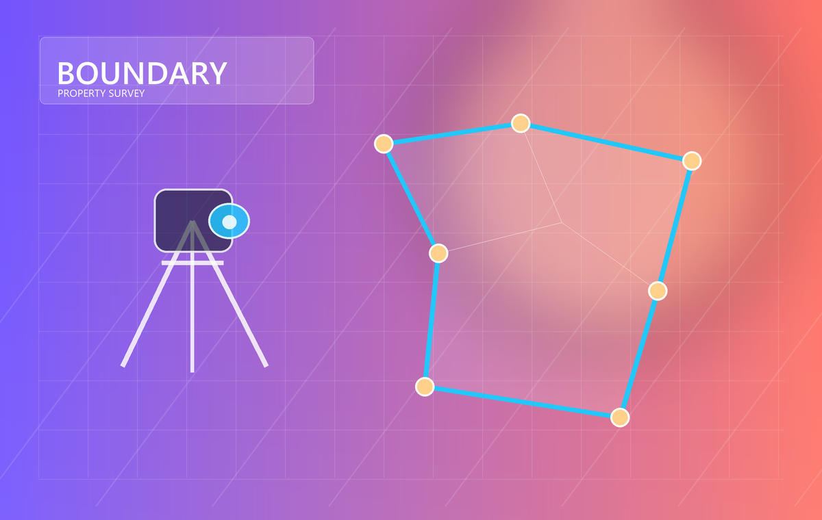
Boundary and property survey parcel visualization

Boundary & Property Surveys

Accurate boundary determination is essential for protecting property rights, supporting legal documentation, and ensuring that construction activities are carried out within the correct property limits. EMD provides professional boundary and property surveying services for residential, commercial, agricultural, and industrial properties.

Our surveyors verify existing property boundaries using available legal documents, cadastral information, survey records, field evidence, and precise measurements obtained through GNSS and Total Station equipment. Every project is approached carefully to ensure that the collected data accurately represents the physical conditions on site.

Boundary surveys are commonly required before purchasing land, subdividing property, applying for building permits, resolving boundary discrepancies, preparing engineering drawings, or supporting legal documentation.

For individual property owners, EMD assists in confirming land dimensions, verifying property limits, calculating parcel areas, and preparing technical survey documentation. For developers, consultants, and contractors, our services provide reliable field information before design and construction activities begin.

  • Boundary Verification
  • Property Line Surveys
  • Parcel Measurement
  • Land Subdivision Support
  • Coordinate Certification
  • Area Calculation
  • Site Plans
  • Survey Reports for Legal and Engineering Purposes

أعمال تحديد الحدود والمساحة العقارية

يعد تحديد حدود العقارات بدقة من أهم الأعمال المساحية التي تساعد على حماية حقوق الملكية، ودعم الإجراءات القانونية، وضمان تنفيذ المشروعات داخل الحدود الصحيحة للأرض.

تقدم EMD خدمات تحديد الحدود والمساحة العقارية للأراضي السكنية والتجارية والزراعية والصناعية، من خلال مراجعة المستندات المتاحة، والبيانات المساحية، والرفع الميداني، والقياسات الدقيقة باستخدام أجهزة GNSS والمحطات المتكاملة (Total Station)، بما يضمن تمثيلًا صحيحًا للحالة الفعلية على الطبيعة.

تستخدم هذه الأعمال قبل شراء الأراضي، أو تقسيمها، أو استخراج تراخيص البناء، أو إعداد المخططات الهندسية، أو دعم المستندات القانونية، أو التحقق من حدود الملكية عند وجود اختلافات ميدانية.

وتساعد خدمات EMD ملاك الأراضي، والاستشاريين، والمطورين، والمقاولين في التحقق من حدود الملكية، وقياس المساحات، وإعداد المخططات المساحية، وإصدار التقارير الفنية اللازمة لمختلف مراحل المشروع.

  • التحقق من الحدود
  • الرفع المساحي للعقارات
  • قياس قطع الأراضي
  • دعم أعمال التقسيم
  • اعتماد الإحداثيات
  • حساب المساحات
  • إعداد مخططات المواقع
  • التقارير المساحية للأغراض الهندسية والقانونية
Construction setting-out grid and site control visualization

Construction Surveying & Setting-Out

Construction surveying ensures that engineering designs are accurately transferred from drawings to the field. EMD provides surveying support throughout different stages of construction projects, helping contractors and consultants execute works according to approved engineering layouts.

Our services include establishing site control points, construction setting-out, checking structural positions, verifying levels, monitoring construction progress, and preparing as-built surveys after project completion.

Accurate field measurements reduce construction errors, improve coordination between project teams, and help maintain compliance with engineering drawings and project specifications.

EMD supports residential developments, commercial buildings, industrial facilities, infrastructure works, utilities, roads, and various civil engineering projects by providing dependable surveying services throughout project execution.

  • Site Control Points
  • Construction Setting-Out
  • Grid Establishment
  • Level Verification
  • Structural Position Checks
  • As-Built Surveys
  • Quantity Verification Support
  • Engineering Measurement Reports

أعمال المساحة التنفيذية وتوقيع المشروعات

تمثل أعمال المساحة التنفيذية المرحلة التي يتم فيها نقل التصميمات الهندسية من الرسومات إلى الطبيعة بدقة، بما يساعد على تنفيذ المشروع وفق الأبعاد والإحداثيات المعتمدة.

تقدم EMD خدمات الدعم المساحي أثناء مراحل التنفيذ المختلفة، وتشمل إنشاء نقاط الضبط المساحي، وتوقيع المحاور، والتحقق من المناسيب، ومراجعة مواقع العناصر الإنشائية، وإعداد رفع ما تم تنفيذه (As-Built Surveys) بعد انتهاء الأعمال.

وتسهم القياسات الدقيقة في تقليل أخطاء التنفيذ، وتحسين التنسيق بين فرق العمل، وضمان مطابقة التنفيذ للرسومات الهندسية والمواصفات الفنية.

تخدم هذه الأعمال مشروعات الإسكان، والمنشآت التجارية، والمصانع، وشبكات المرافق، والطرق، والأعمال المدنية المختلفة، مع الالتزام بالدقة وسرعة إنجاز الأعمال الميدانية.

  • إنشاء نقاط الضبط المساحي
  • توقيع المحاور
  • إنشاء شبكات الإحداثيات
  • مراجعة المناسيب
  • التحقق من مواقع العناصر الإنشائية
  • رفع ما تم تنفيذه (As-Built)
  • دعم مراجعة الكميات
  • التقارير المساحية الهندسية
UAV photogrammetry and aerial mapping visualization

Drone Mapping & Photogrammetry

Drone photogrammetry has become a practical surveying solution for collecting accurate spatial information over medium and large project areas within a relatively short time. EMD integrates UAV surveying into selected projects where aerial data collection provides clear technical and operational advantages.

Using high-resolution aerial imagery and photogrammetric processing, our team produces reliable mapping products that support engineering design, site monitoring, earthwork calculations, infrastructure planning, and project documentation.

Drone surveys complement conventional ground surveying rather than replace it. Field control points established using GNSS and Total Station equipment are incorporated whenever required to improve positional accuracy and ensure dependable engineering outputs.

This service is particularly useful for construction sites, land development projects, industrial facilities, agricultural areas, road corridors, and infrastructure projects where regular site documentation and accurate mapping are required.

  • Orthophotos
  • Digital Terrain Models (DTM)
  • Surface Models
  • Point Clouds
  • Site Progress Mapping
  • Earthwork Volume Calculations
  • CAD-Compatible Mapping
  • Engineering Reports

التصوير الجوي والفوتوجرامتري

أصبحت تقنيات التصوير الجوي بالطائرات بدون طيار أحد الحلول العملية لجمع البيانات المكانية بدقة وفي وقت مناسب، خاصة في المواقع ذات المساحات المتوسطة والكبيرة. وتستخدم EMD هذه التقنية في المشروعات التي تستفيد من سرعة جمع البيانات الجوية ودقتها.

يعتمد فريق العمل على التقاط صور جوية عالية الجودة ومعالجتها باستخدام برامج الفوتوجرامتري لإنتاج خرائط هندسية وبيانات مكانية تساعد في التصميم، ومتابعة التنفيذ، وحساب كميات الحفر والردم، وتوثيق مراحل المشروع، وإعداد التقارير الفنية.

ولا يُعد التصوير الجوي بديلاً عن أعمال الرفع الأرضي، بل يُستخدم بالتكامل مع القياسات الميدانية التي يتم تنفيذها بواسطة أجهزة GNSS والمحطات المتكاملة (Total Station) لضمان أعلى مستوى ممكن من الدقة وفق متطلبات المشروع.

وتناسب هذه الخدمة مشروعات الإنشاءات، وتطوير الأراضي، والمناطق الصناعية، والأراضي الزراعية، والطرق، ومختلف مشروعات البنية الأساسية.

  • الصور الجوية المصححة (Orthophotos)
  • نماذج التضاريس الرقمية (DTM)
  • نماذج الأسطح
  • السحب النقطية (Point Clouds)
  • خرائط متابعة التنفيذ
  • حساب كميات الحفر والردم
  • خرائط متوافقة مع CAD
  • التقارير الهندسية
GIS spatial database and digital mapping visualization

GIS & Spatial Data Services

Geographic Information Systems (GIS) enable engineering and asset information to be organized, managed, and presented in a structured digital environment. EMD provides GIS services that assist clients in converting survey information into organized spatial datasets that support planning, documentation, and decision-making.

Our work includes GIS database preparation, spatial data organization, feature mapping, coordinate management, digital map production, and spatial analysis suitable for engineering and infrastructure applications.

GIS solutions developed by EMD are designed to improve data accessibility, simplify map management, and support future project updates while maintaining consistency between field observations and digital records.

These services are suitable for engineering offices, utility companies, municipalities, industrial facilities, developers, and organizations requiring organized geospatial information.

  • GIS Databases
  • Digital Maps
  • Spatial Data Organization
  • Coordinate Management
  • Asset Location Mapping
  • Engineering GIS Layers
  • CAD to GIS Conversion
  • GIS Reports

خدمات نظم المعلومات الجغرافية والبيانات المكانية

تساعد نظم المعلومات الجغرافية (GIS) على تنظيم البيانات المكانية وربطها بالمعلومات الوصفية داخل بيئة رقمية تيسر عمليات الإدارة والتحليل والتوثيق. وتقدم EMD خدمات GIS التي تساعد العملاء على تحويل البيانات المساحية إلى قواعد بيانات مكانية منظمة يمكن الرجوع إليها وتحديثها بسهولة.

تشمل الخدمات إعداد قواعد البيانات الجغرافية، وتنظيم الطبقات المكانية، وإنتاج الخرائط الرقمية، وإدارة الإحداثيات، وربط البيانات الميدانية بالمعلومات الهندسية، بما يخدم مختلف المشروعات الهندسية والتنموية.

وتساعد هذه الحلول على تحسين إدارة البيانات، وتسهيل عمليات البحث والتحديث، والمحافظة على توافق المعلومات بين الأعمال الميدانية والخرائط الرقمية.

وتناسب خدمات GIS المكاتب الاستشارية، وشركات المرافق، والجهات المحلية، والمناطق الصناعية، والمطورين العقاريين، والجهات التي تعتمد على البيانات المكانية في إدارة أصولها ومشروعاتها.

  • قواعد بيانات GIS
  • الخرائط الرقمية
  • تنظيم البيانات المكانية
  • إدارة الإحداثيات
  • خرائط مواقع الأصول
  • الطبقات الهندسية
  • تحويل CAD إلى GIS
  • تقارير GIS
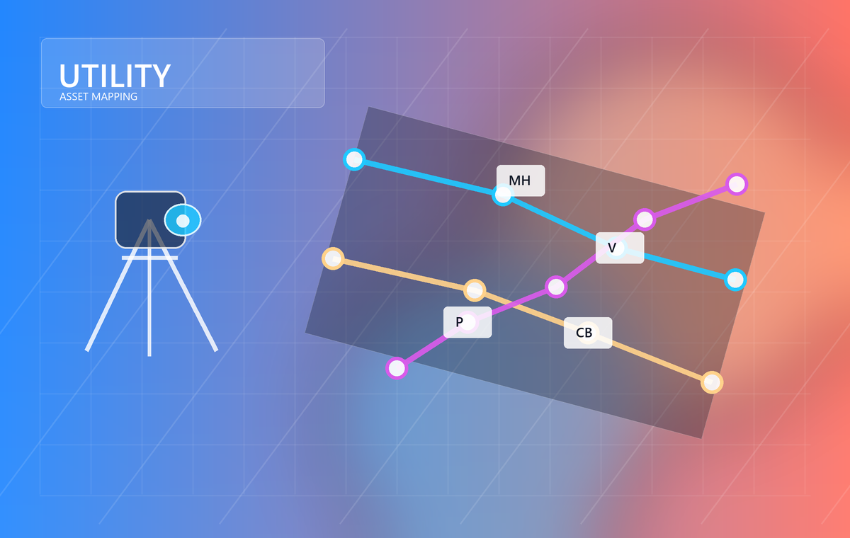
Utility network and engineering asset mapping visualization

Utility Mapping & Engineering Documentation

Reliable utility information is essential for engineering design, maintenance planning, construction activities, and infrastructure development. EMD provides utility mapping services that document visible and available infrastructure features and organize engineering information into practical project records.

Our surveying teams identify and map utility elements, site features, access roads, service corridors, drainage systems, and other engineering assets using conventional surveying methods supported by GNSS and Total Station observations.

The collected information is processed into organized CAD drawings, coordinate schedules, engineering reports, and project documentation suitable for consultants, contractors, developers, and facility owners.

EMD focuses on producing clear, dependable engineering documentation that assists project teams throughout planning, construction, maintenance, and future site development.

  • Utility Mapping
  • Infrastructure Plans
  • CAD Drawings
  • Coordinate Schedules
  • Engineering Documentation
  • Survey Reports
  • Asset Mapping
  • Project Record Drawings

رفع المرافق والتوثيق الهندسي

تمثل البيانات الدقيقة للمرافق والبنية الأساسية عنصرًا مهمًا في أعمال التصميم والتنفيذ والصيانة وإدارة المشروعات. وتقدم EMD خدمات رفع المرافق وإعداد التوثيق الهندسي من خلال تنفيذ أعمال الرفع المساحي للعناصر الظاهرة وإعداد المخططات والرسومات الفنية اللازمة.

يقوم فريق العمل بحصر ورفع شبكات المرافق الظاهرة، والطرق، ومسارات الخدمات، وشبكات التصريف، والعناصر الهندسية المختلفة باستخدام أجهزة GNSS والمحطات المتكاملة، ثم معالجة البيانات وإعداد الرسومات والتقارير الهندسية المناسبة.

وتسهم هذه الخدمات في توفير معلومات منظمة تساعد المكاتب الاستشارية، والمقاولين، والمطورين، والجهات المالكة للمشروعات في تنفيذ الأعمال، وإدارة الأصول، والرجوع إلى البيانات مستقبلًا عند الحاجة.

وتركز EMD على تقديم توثيق هندسي واضح ومنظم يعتمد على القياسات الميدانية الدقيقة، بما يدعم مختلف مراحل المشروع منذ التخطيط وحتى التسليم النهائي.

  • خرائط المرافق
  • مخططات البنية الأساسية
  • رسومات CAD
  • جداول الإحداثيات
  • التوثيق الهندسي
  • التقارير المساحية
  • خرائط الأصول
  • رسومات المشروع النهائية